top of page


LATEST
See the latest updates and developments in the geospatial sector.
Search


Digital Twin Design Challenge 2022: Build a Minecraft Structure for the Real World
Reimagine a real-world location using Minecraft! Digital twin technology is set to be the next powerful tool for future engineers, and...
Feb 3, 2022


Why I choose Newcastle University for Geospatial Surveying and Mapping
Haziq Zainal, Geospatial Surveying, Mapping and Geographic Information Science student, shares his reasons for choosing to study at...
Jan 28, 2022


Geospatial Careers: 12 Things I’ve Learned… So Far
Thierry Gregorius, Executive Coach and Consultant at Exprodat, shares 12 things he's learned from his geospatial career. With over 20...
Jan 24, 2022


Summer Placement Experience at Hollis
Since 2016, Hollis has taken on 7 summer placements. Placements run for approximately 12 weeks during the summer break of 2nd and 3rd...
Dec 3, 2021


Geospatial UK Celebrates GIS Day
Geospatial UK celebrated GIS Day on Wednesday 17th November 2021. While global circumstances require GIS Day to be largely virtual this...
Nov 22, 2021


What is Remote Sensing?
Remote sensing combines science and technology to acquire information about an object, area, or phenomenon by measuring reflected and...
Oct 22, 2021
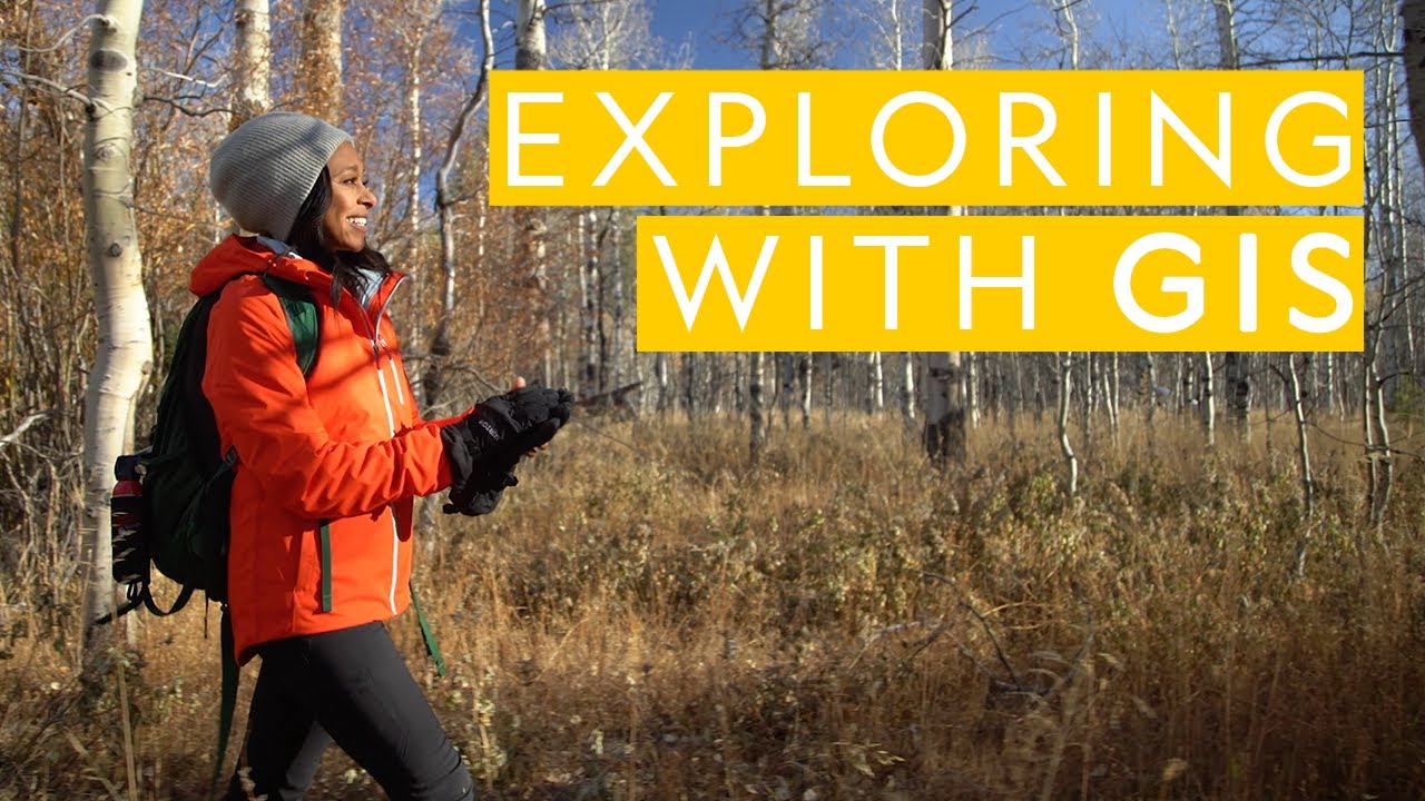
Exploring with GIS: Tracking Black Bears
Wildlife ecologist Rae Wynn-Grant proves you can be a self-professed "city girl" while also pursuing professional passions in the forest....
Aug 2, 2021


Building Surveyors vs Quantity Surveyors
What's the difference between a building and a quantity surveyor? We explore both careers, what they have in common and what sets the two...
Jul 22, 2021


5 Ways a RICS Accredited Degree Will Transform Your Surveying Career
Discover what it means to have an accredited surveying degree. The built-environment sector is a well-regulated industry. Companies need...
Jul 22, 2021

The Times They Are A-Changin...
Mark Poveda, Group Commercial Director of KOREC Group, ponders the questions of how best to stimulate a new generation of geospatial...
Jul 15, 2021


What Does A Building Surveyor Do?
What is a building surveyor, and what exactly do they do? Here, we explore the role, and how to become a building surveyor. Building...
Jul 15, 2021

Kids 4 Change
Newcastle University’s Water Security and Sustainable Hub, a multidisciplinary collaborative hub formed to solve some of the complex and...
Jul 12, 2021


How to Become a Surveyor
Do you think you might be interested in pursuing surveying as a career? Here’s how to get started at Northumbria University. It’s thought...
Jul 8, 2021


Map your litter picks!
Amy and Ella Meek, aged 17 and 15, set up Kids Against Plastic in 2018 and have been taking action against plastic pollution ever since!...
Jul 5, 2021


Surveyors added to priority skilled migration list in Australia
The Australia’s Priority Migration Skilled Occupation List (PMSOL) currently identifies 41 occupations that supply the critical needs for...
Jul 2, 2021


How Science and Technology Keep Up with Earth’s Shifting Surface
The Earth Never Sleeps When an earthquake hits, the physical landscape can undergo massive changes in a matter of minutes. Stationary...
Jun 29, 2021


Creating a New Era of Geospatial Professionals
What happens when industry meets coursework? Mark Poveda, Niall Hand, Fran Mullally from KOREC Ireland and Kevin Kinahan from KOREC...
May 27, 2021


Becoming a Surveyor Worldwide
Sarah Clark, a Surveying Recruiter from Australia, Katie Holt at Chartered Institution of Civil Engineering Surveyors (CICES), the Royal...
May 25, 2021


Getting into a Geospatial Career
If you imagine your younger self thinking of what you wanted to be when you were older, didn’t it seem like such a daunting task? What do...
May 24, 2021


How the British Red Cross Use GIS for the Domestic Covid-19 Crisis
The British Red Cross has created new mapping tools using Esri GIS, which are being used by the Voluntary and Community Sector...
May 20, 2021


Women and GIS: Champions of a Sustainable World
The "Women and GIS, Volume 3: Champions of a Sustainable World" by ESRI Press is now available as e-book. It features 31 inspiring...
May 12, 2021


The Digital Nervous System of The Planet
Jack Dangermond and his wife, Laura, founded Esri (the Environmental Systems Research Institute) in 1969 on the idea that computer-based...
May 3, 2021

5 Ways Geospatial Technology is Supporting Sustainability
Geospatial technology, complemented by advances in digital technologies, especially the combination of mobile, machine-to-machine and...
Apr 29, 2021


Why should you choose Geospatial Engineering at University?
Nathan is a Geospatial Survey Expertise Technician at Newcastle University. He studied surveying and mapping science (which is now named...
Apr 21, 2021
bottom of page